
Munch Brothers Aviation | MSFS 2024 Scenery
A Remote Village on the Kuskokwim River
Tucked into the Kuskokwim Mountains of Southwest Alaska, approximately 50 miles northeast of Aniak, Crooked Creek is a small community where the river and the airport remain essential connections to the outside world.
The Kuskokwim River serves as a transportation corridor throughout the year. Boats and barges carry supplies during the warmer months, while snowmachines and winter travel routes provide access when the river freezes. Aircraft carry passengers, mail, freight, and the necessities of everyday life.
Crooked Creek is divided into upper and lower village areas, connected by a local road system and a small suspension bridge crossing Crooked Creek. Though modest in size, the crossing is an important part of the community's transportation history.
An Airport with a History
Crooked Creek Airport has changed considerably over the years.
The original gravel runway was constructed in 1977–1978, using material obtained from gravel bars near the mouth of Crooked Creek. Additional airport improvements followed in 1991, including work on the runway safety area and apron embankments.
Later engineering studies documented problems with drainage, thawing permafrost, and uneven runway surfaces. These challenges are familiar throughout rural Alaska, where maintaining an airfield can be as demanding as building one.
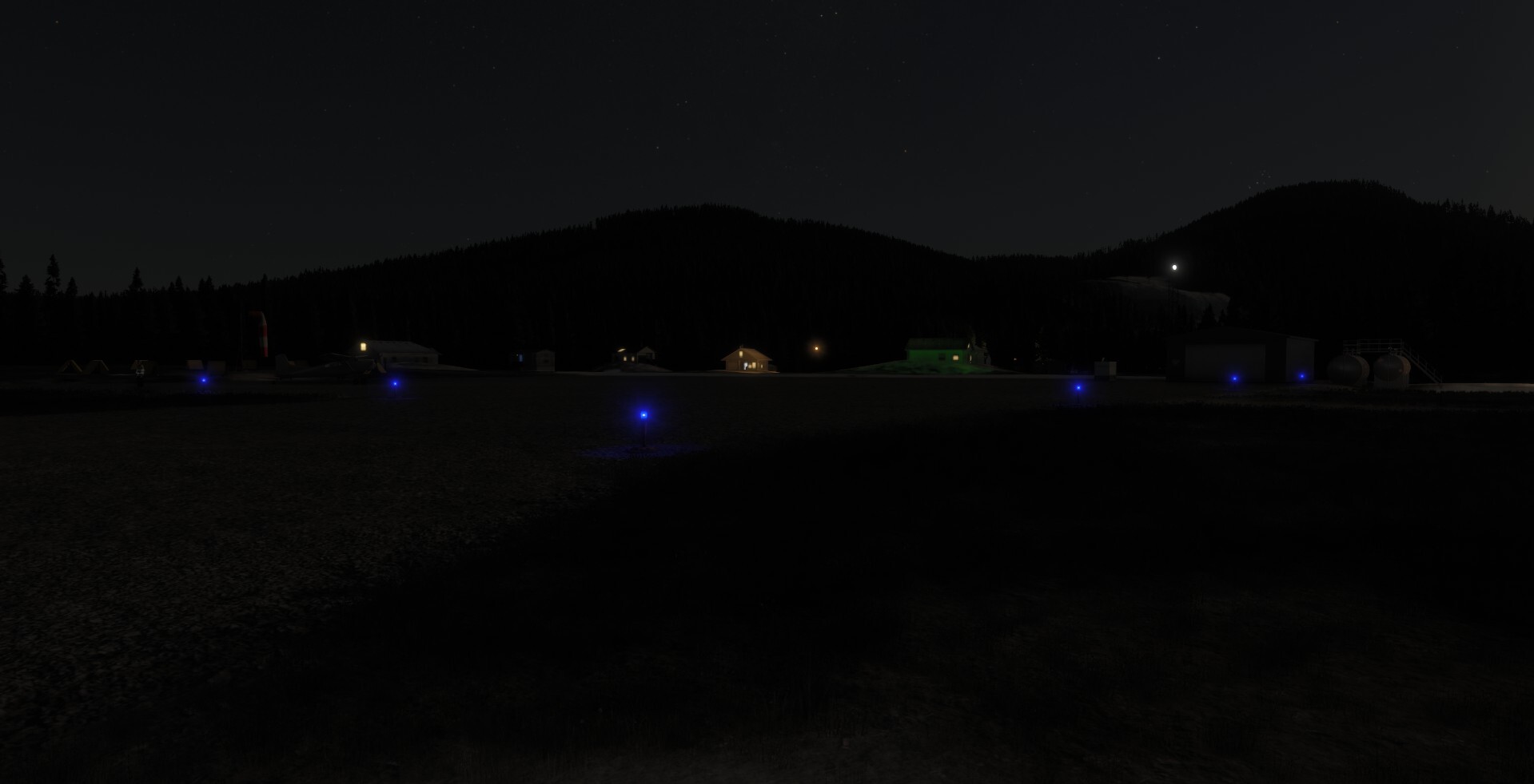
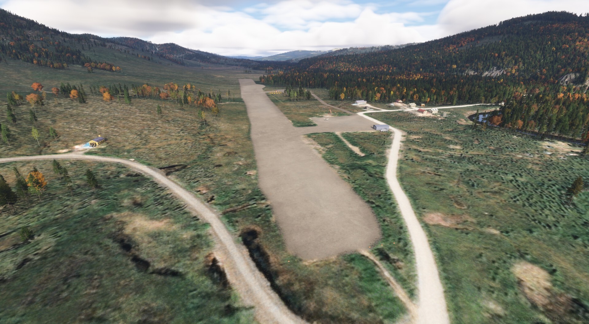
The airport eventually developed into today's 3,300-foot gravel Runway 14/32, with runway lighting, weather reporting equipment, and instrument approach procedures.
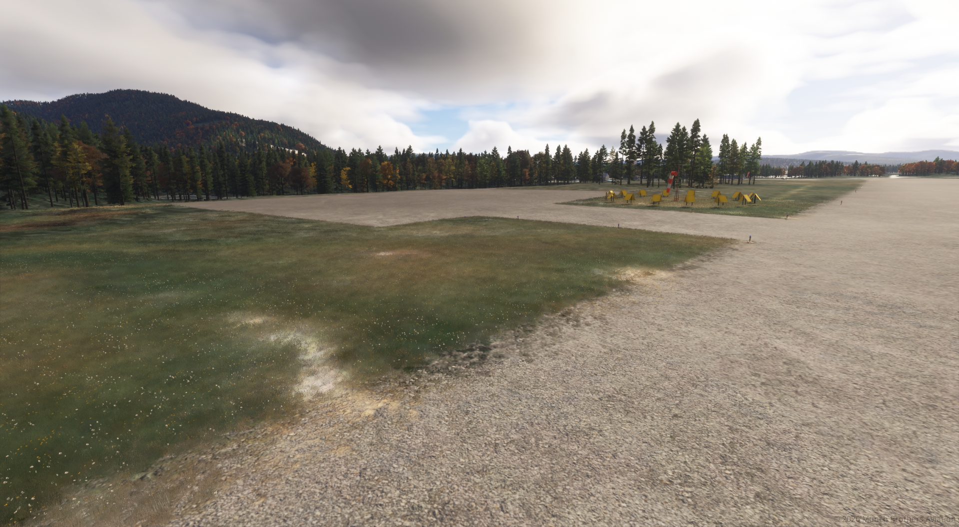
One particularly interesting feature is the former runway alignment. Its remaining footprint helps explain the unusual slanted terrain and overrun area visible near the present airfield.
Rebuilding Crooked Creek for MSFS 2024
The default simulator scenery contained two overlapping representations of Crooked Creek Airport, identified as CJX and PACJ. These included conflicting runway alignments and airport geometry.
Munch Brothers Aviation has reworked the airfield to provide a more accurate and usable destination.
Scenery improvements include:
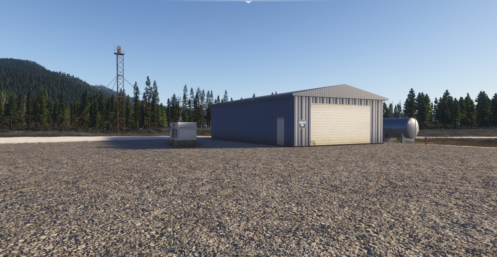
- Reworked gravel runway and airport terrain.
- Corrections to the overlapping default airport layouts.
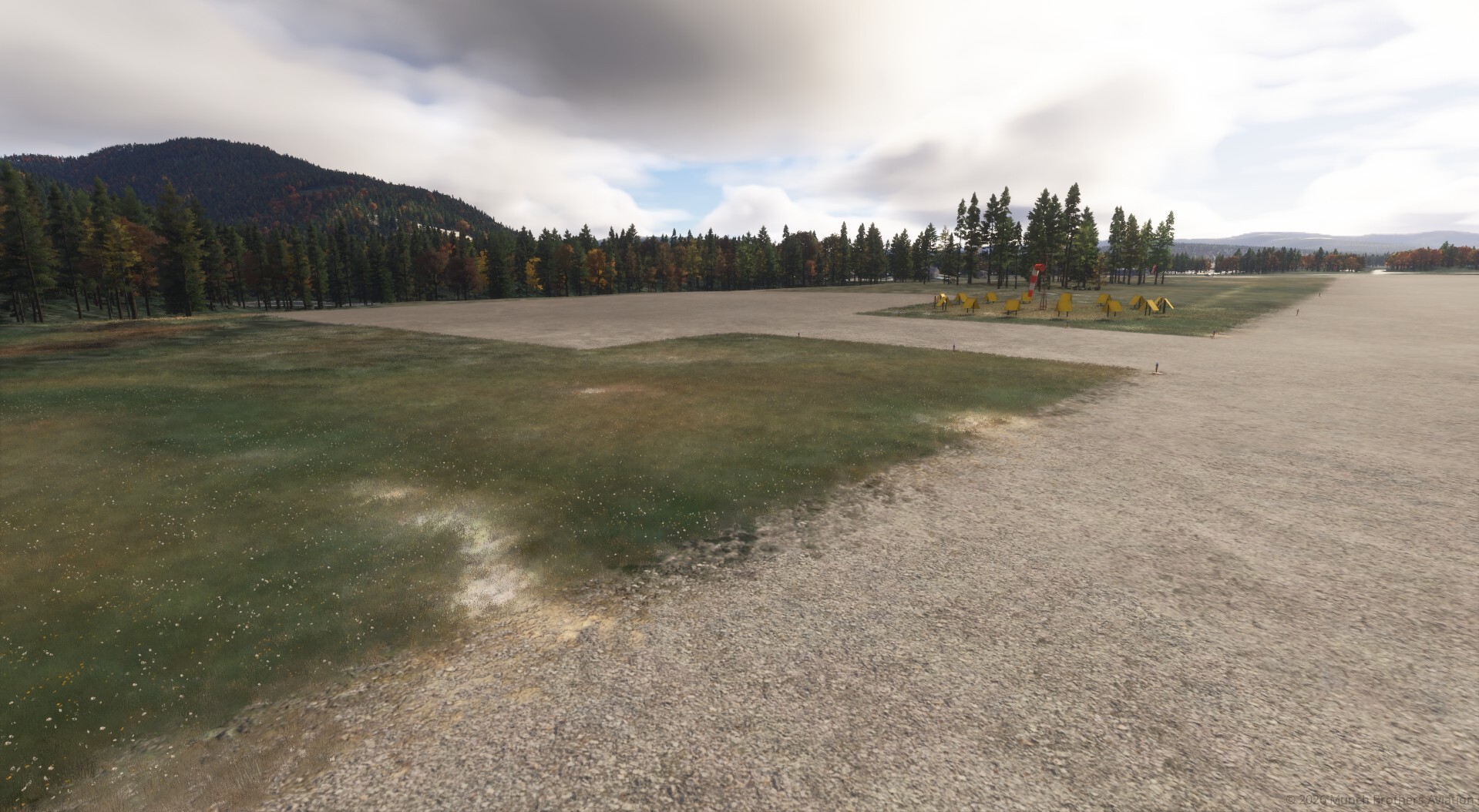
- Improved gravel surfaces and surrounding ground details.
- Additional apron at the west end of the airport.
- Connecting access road to the new apron.
- Historical terrain features associated with the former runway alignment.
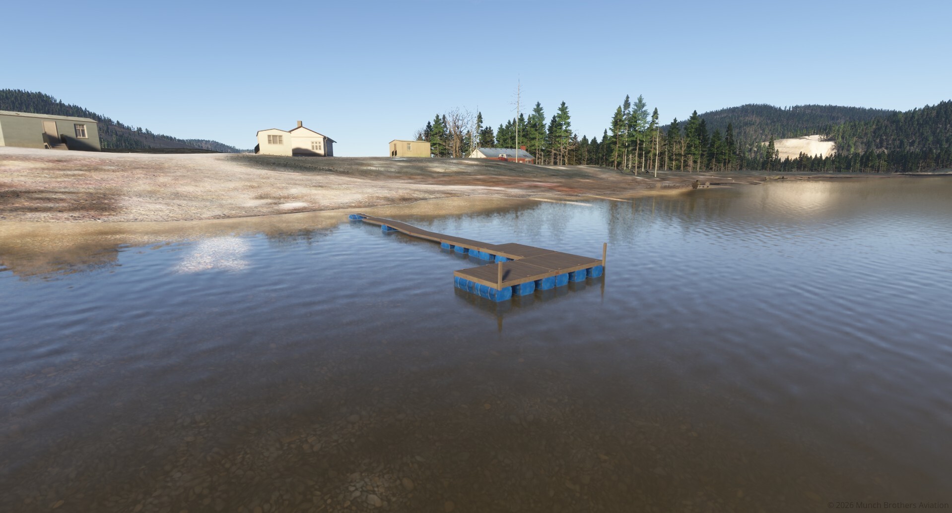
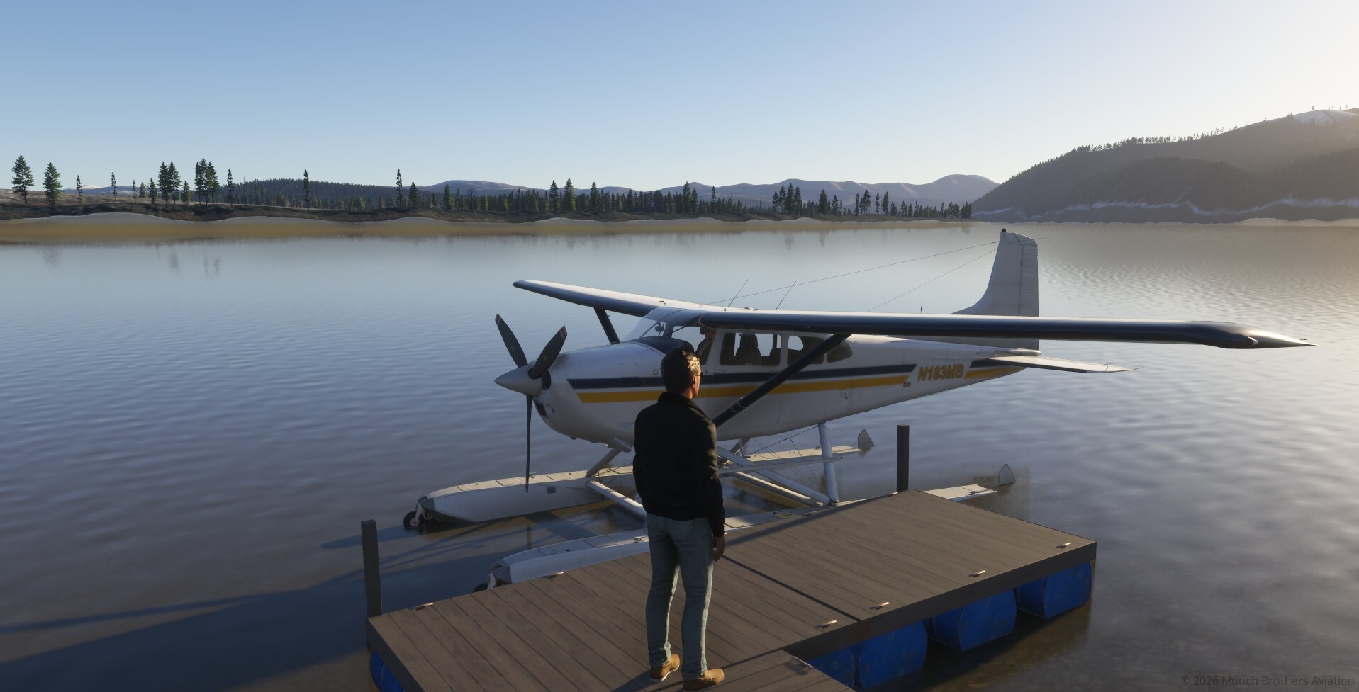
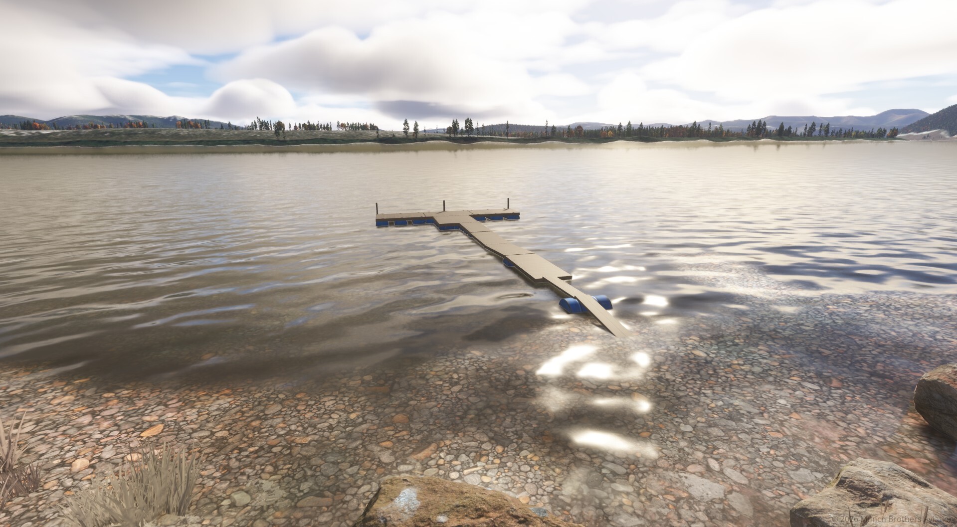
- Floatplane dock along the Kuskokwim River.
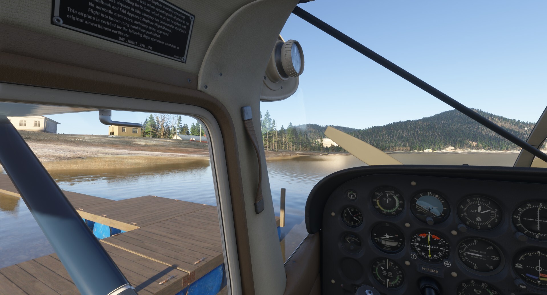
The river dock adds another way to experience Crooked Creek, allowing floatplane pilots to arrive by water rather than gravel.
Flying Into Crooked Creek
Crooked Creek makes a natural destination for bush pilots operating along the Kuskokwim River.
Fly in with mail and supplies, carry passengers between villages, deliver equipment, or arrive by floatplane to explore the riverfront.
The surrounding wilderness, winding waterways, and rugged hills provide a memorable setting for short-field and backcountry operations.
Simulator Information
Airport selection: Search for CJX MSFS 2024.
PACJ: The conflicting default PACJ airport scenery has been excluded to prevent overlapping runway geometry.
Runway: 14/32 — 3,300 × 75 feet, gravel.
Published fuel service: MOGAS.
Airport reference: https://www.airnav.com/airport/PACJ
Developed by Munch Brothers Aviation — Bringing Alaska's remote airports, aviation history, and bush-flying destinations to life in Microsoft Flight Simulator 2024.
Changelog
Larger float dock. Add's second apron, parking moves windsock and semicircle.