MBA NEWS
Munch Brothers Aviation — Alaska Destinations & Bush Flying Network

Scenery

CJX Crooked Creek

Munch Brothers Aviation | MSFS 2024 Scenery

A Remote Village on the Kuskokwim River

Tucked into the Kuskokwim Mountains of Southwest Alaska, approximately 50 miles northeast of Aniak, Crooked Creek is a small community where the river and the airport remain essential connections to the outside world.

The Kuskokwim River serves as a transportation corridor throughout the year. Boats and barges carry supplies during the warmer months, while snowmachines and winter travel routes provide access when the river freezes. Aircraft carry passengers, mail, freight, and the necessities of everyday life.

Crooked Creek is divided into upper and lower village areas, connected by a local road system and a small suspension bridge crossing Crooked Creek. Though modest in size, the crossing is an important part of the community’s transportation history.

An Airport with a History

Crooked Creek Airport has changed considerably over the years.

The original gravel runway was constructed in 1977–1978, using material obtained from gravel bars near the mouth of Crooked Creek. Additional airport improvements followed in 1991, including work on the runway safety area and apron embankments.

Later engineering studies documented problems with drainage, thawing permafrost, and uneven runway surfaces. These challenges are familiar throughout rural Alaska, where maintaining an airfield can be as demanding as building one.

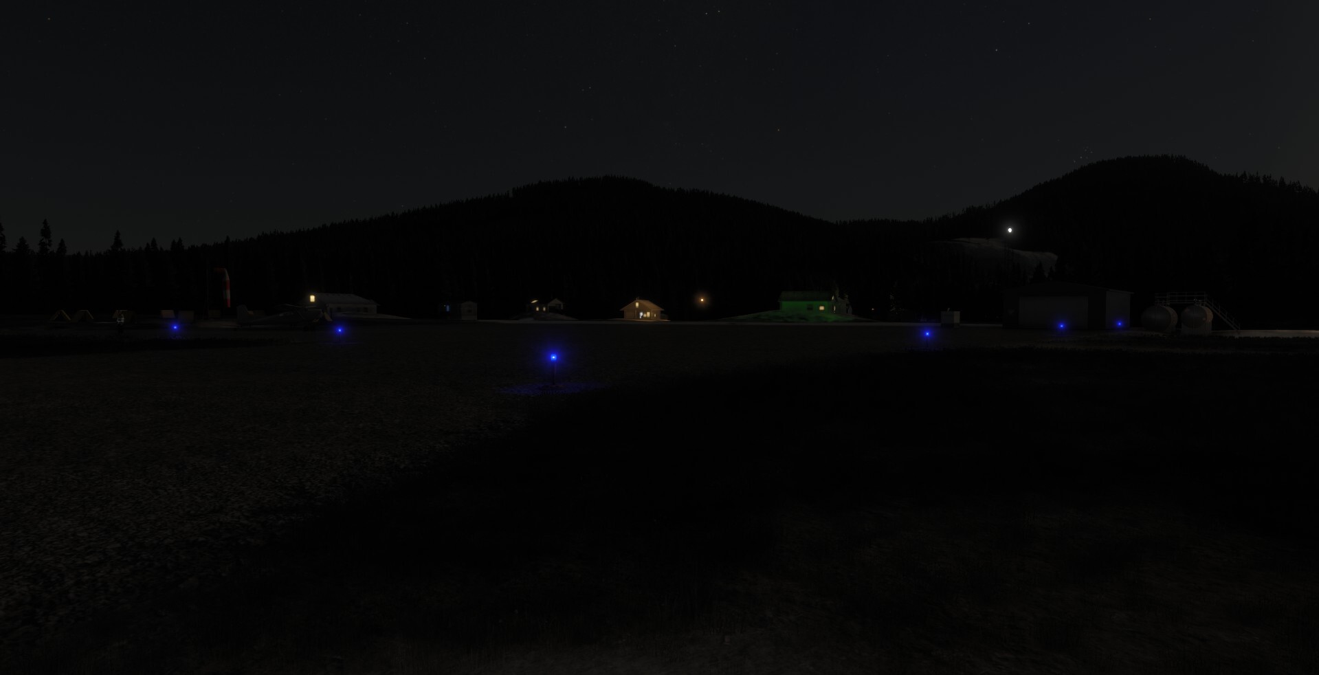
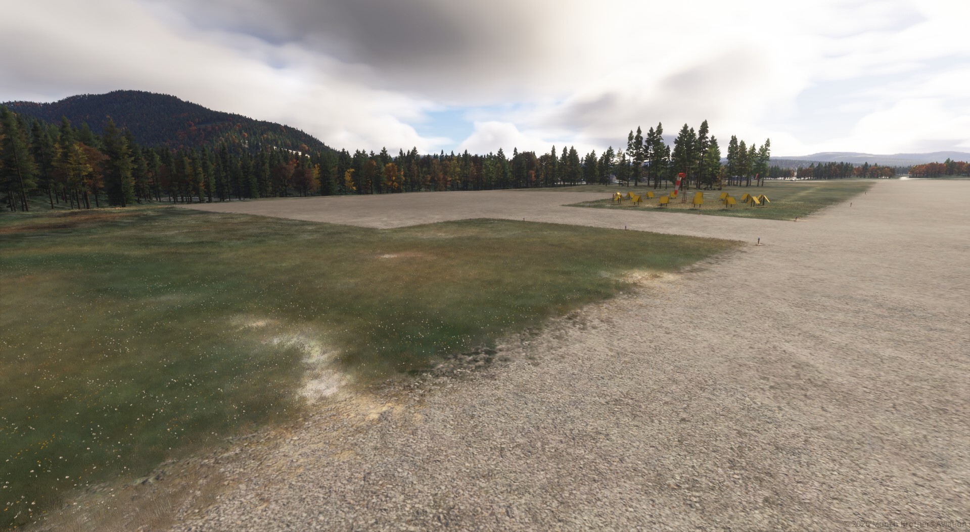
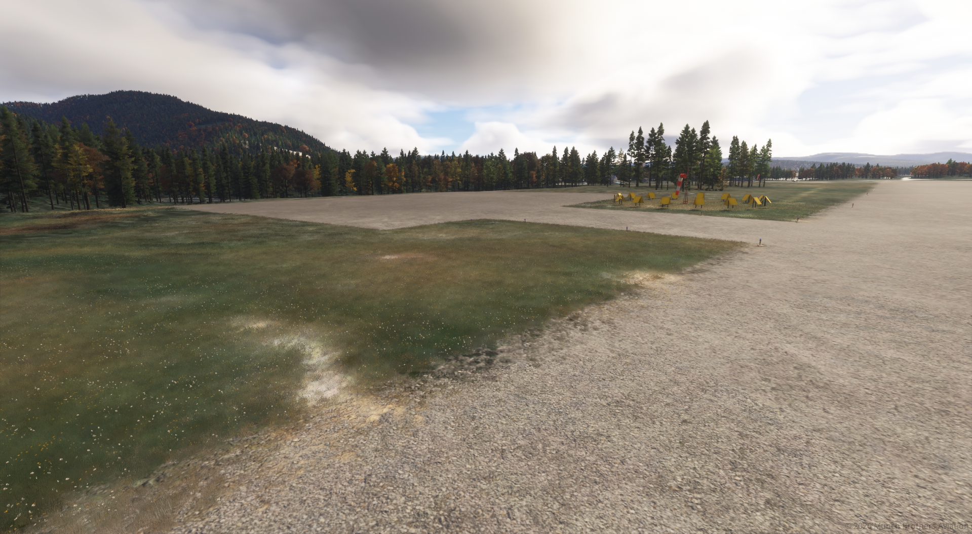
The airport eventually developed into today’s 3,300-foot gravel Runway 14/32, with runway lighting, weather reporting equipment, and instrument approach procedures.

One particularly interesting feature is the former runway alignment. Its remaining footprint helps explain the unusual slanted terrain and overrun area visible near the present airfield.

Rebuilding Crooked Creek for MSFS 2024

The default simulator scenery contained two overlapping representations of Crooked Creek Airport, identified as CJX and PACJ. These included conflicting runway alignments and airport geometry.

Munch Brothers Aviation has reworked the airfield to provide a more accurate and usable destination.

Scenery improvements include:

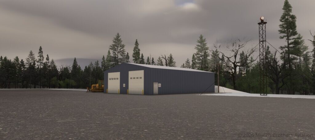
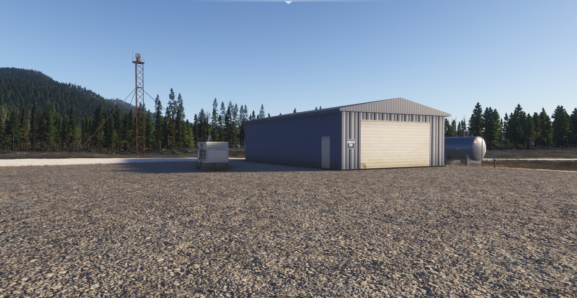
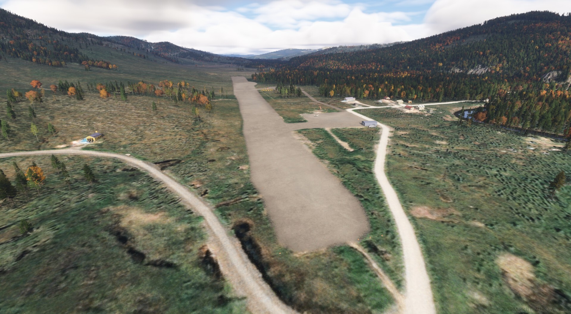
  • Reworked gravel runway and airport terrain.
  • Corrections to the overlapping default airport layouts.
  • Improved gravel surfaces and surrounding ground details.
  • Additional apron at the west end of the airport.
  • Connecting access road to the new apron.
  • Historical terrain features associated with the former runway alignment.
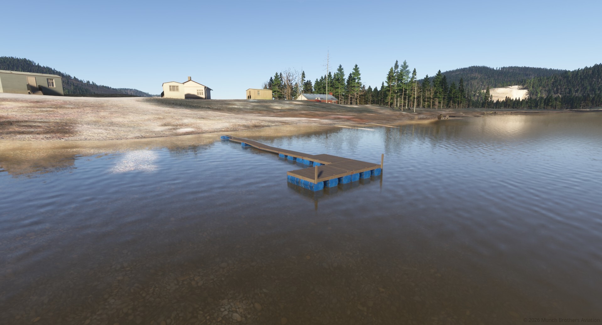
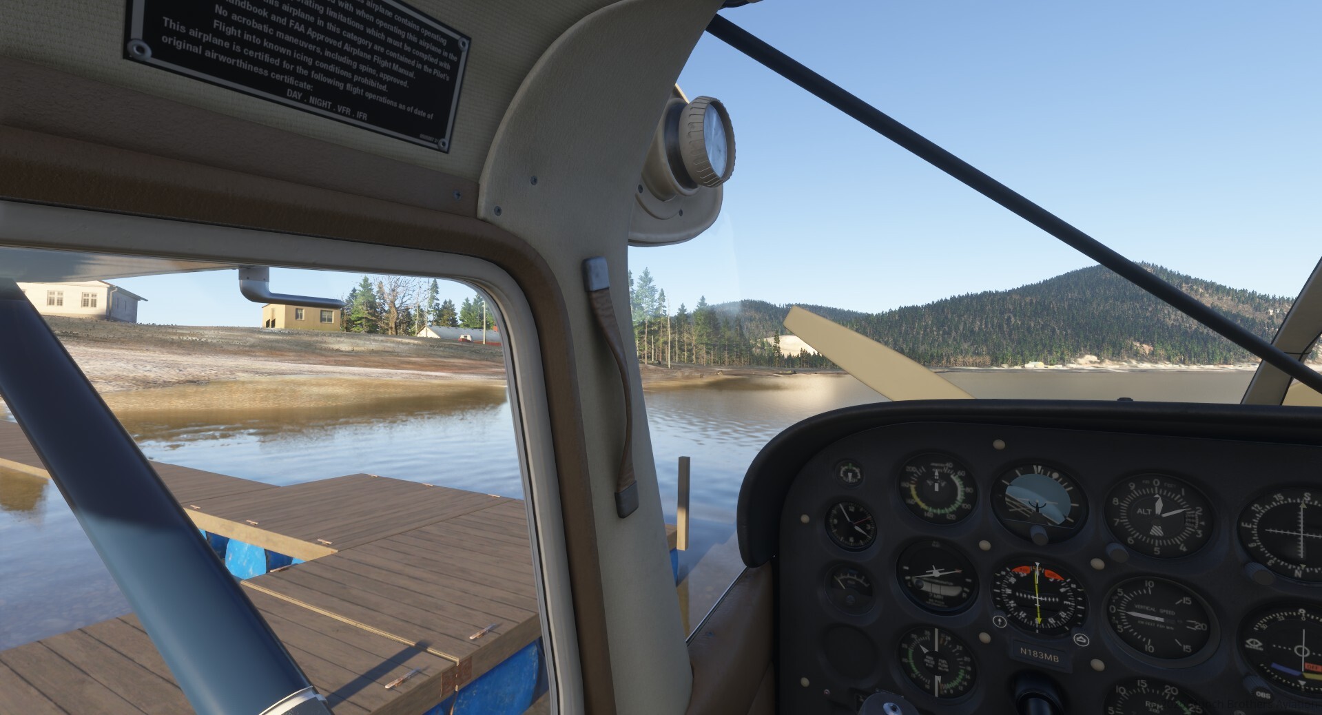
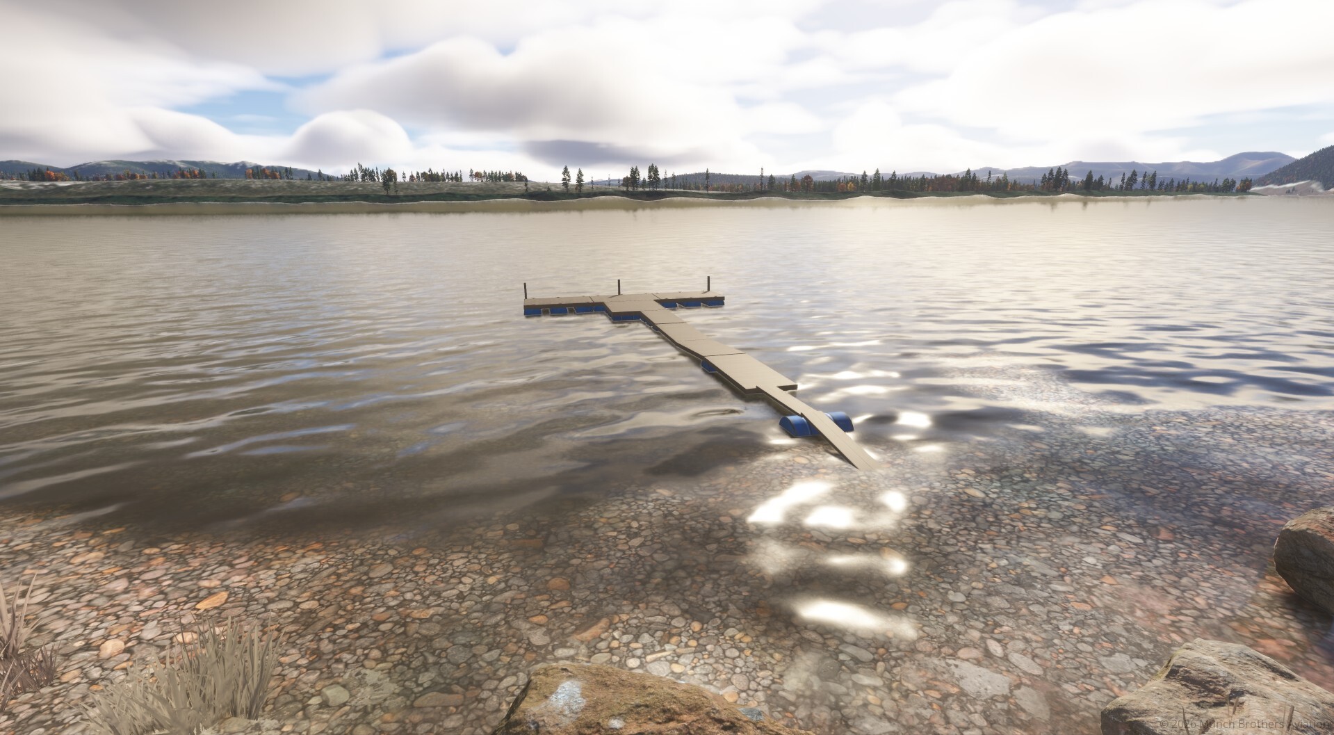
  • Floatplane dock along the Kuskokwim River.

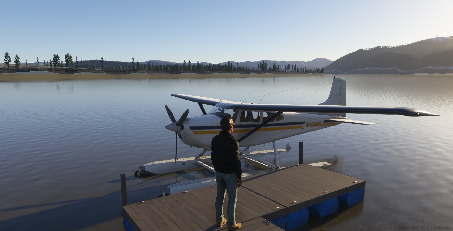
The river dock adds another way to experience Crooked Creek, allowing floatplane pilots to arrive by water rather than gravel.

Flying Into Crooked Creek

Crooked Creek makes a natural destination for bush pilots operating along the Kuskokwim River.

Fly in with mail and supplies, carry passengers between villages, deliver equipment, or arrive by floatplane to explore the riverfront.

The surrounding wilderness, winding waterways, and rugged hills provide a memorable setting for short-field and backcountry operations.

Simulator Information

Airport selection: Search for CJX  MSFS 2024.

PACJ: The conflicting default PACJ airport scenery has been excluded to prevent overlapping runway geometry.

Runway: 14/32 — 3,300 × 75 feet, gravel.

Published fuel service: MOGAS.

Airport reference: https://www.airnav.com/airport/PACJ

Developed by Munch Brothers Aviation — Bringing Alaska’s remote airports, aviation history, and bush-flying destinations to life in Microsoft Flight Simulator 2024.
CJX Crooked Creek Read Post »

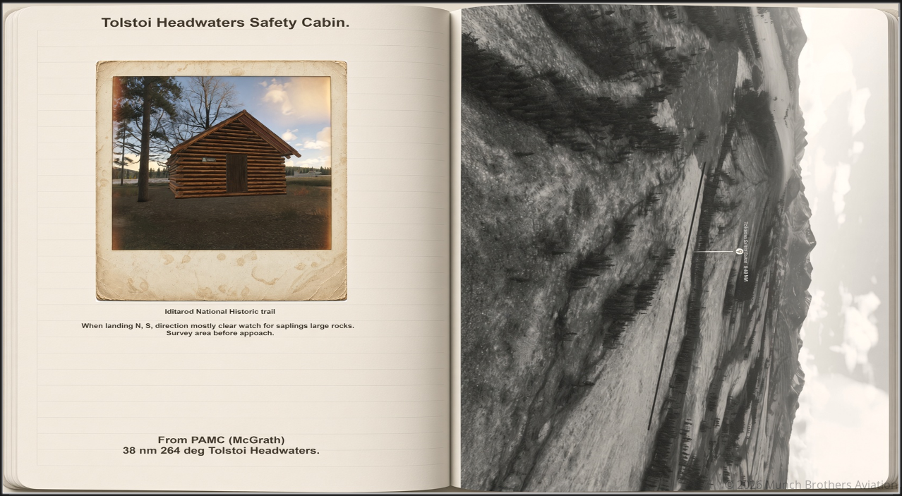
McGrath Safety Cabins.

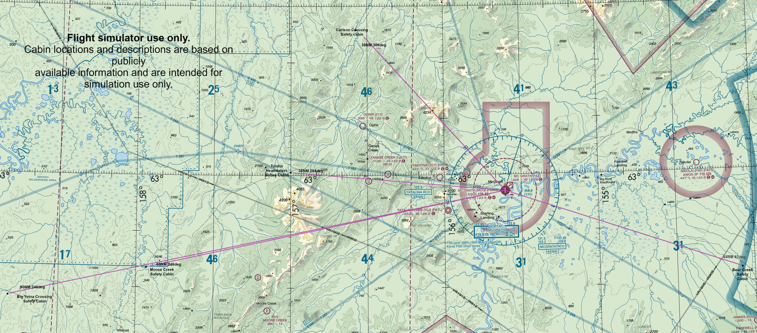
Large Area VFR MAP

Remote Alaska Bush Flying Destinations for MSFS 2024

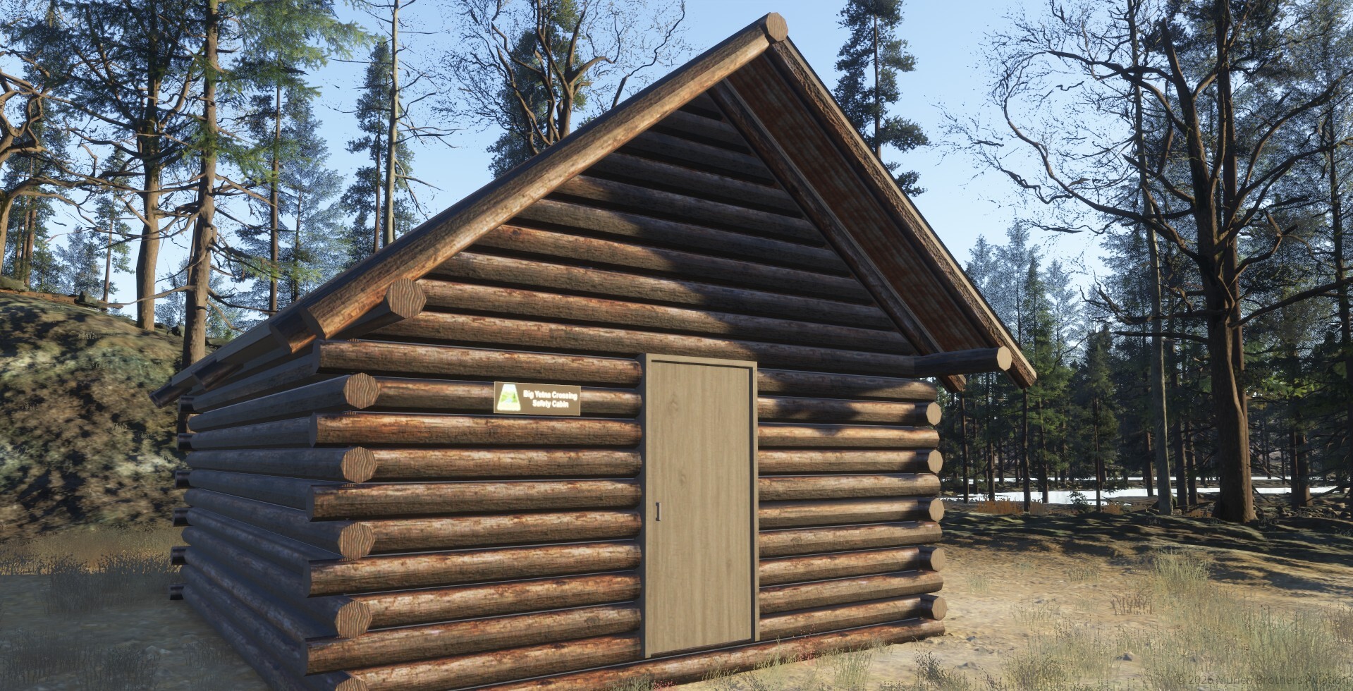
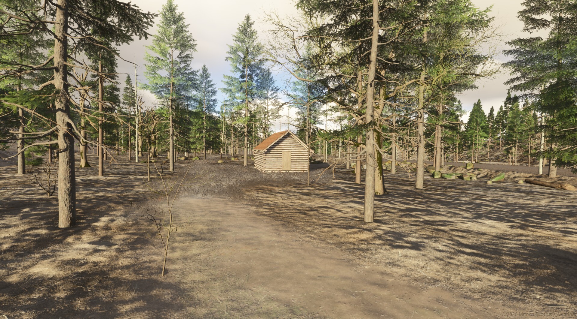
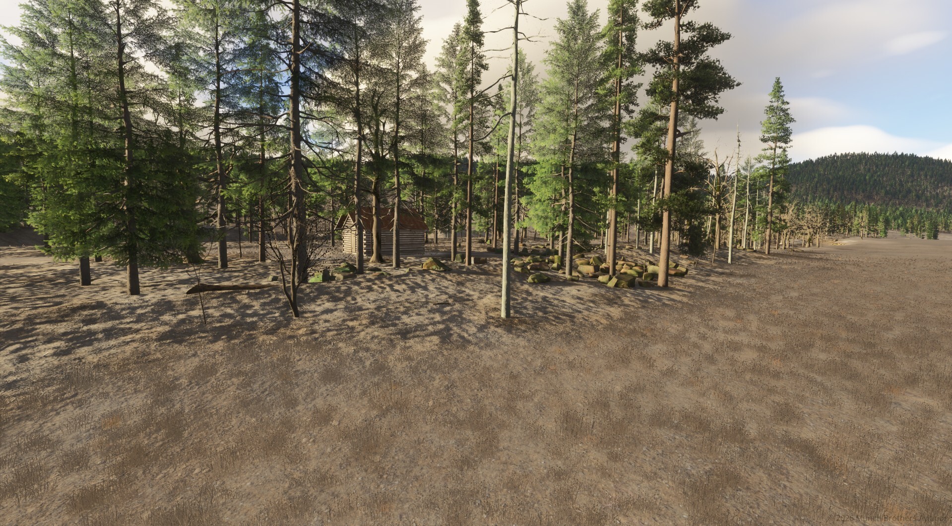
Fly into the Alaskan wilderness and explore the historic Iditarod National Historic Trail, where isolated safety cabins provide shelter for travelers crossing some of the most remote country in Alaska.

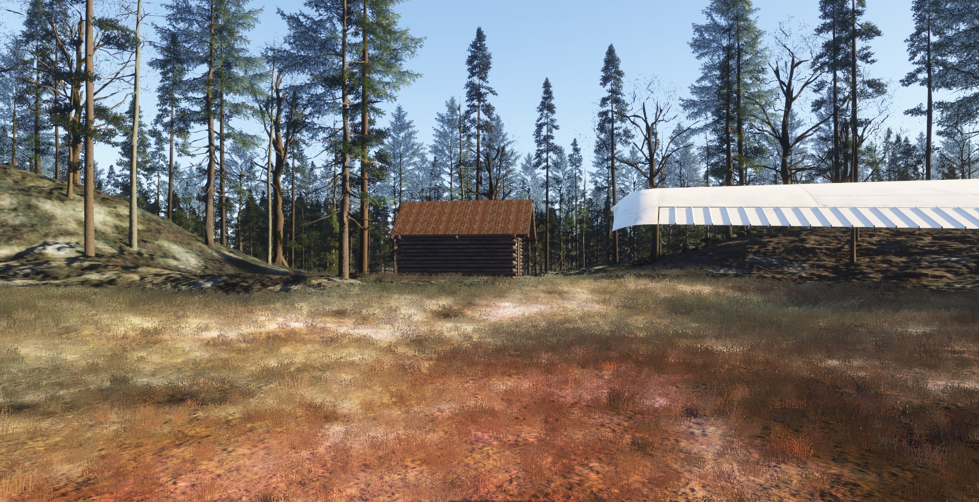
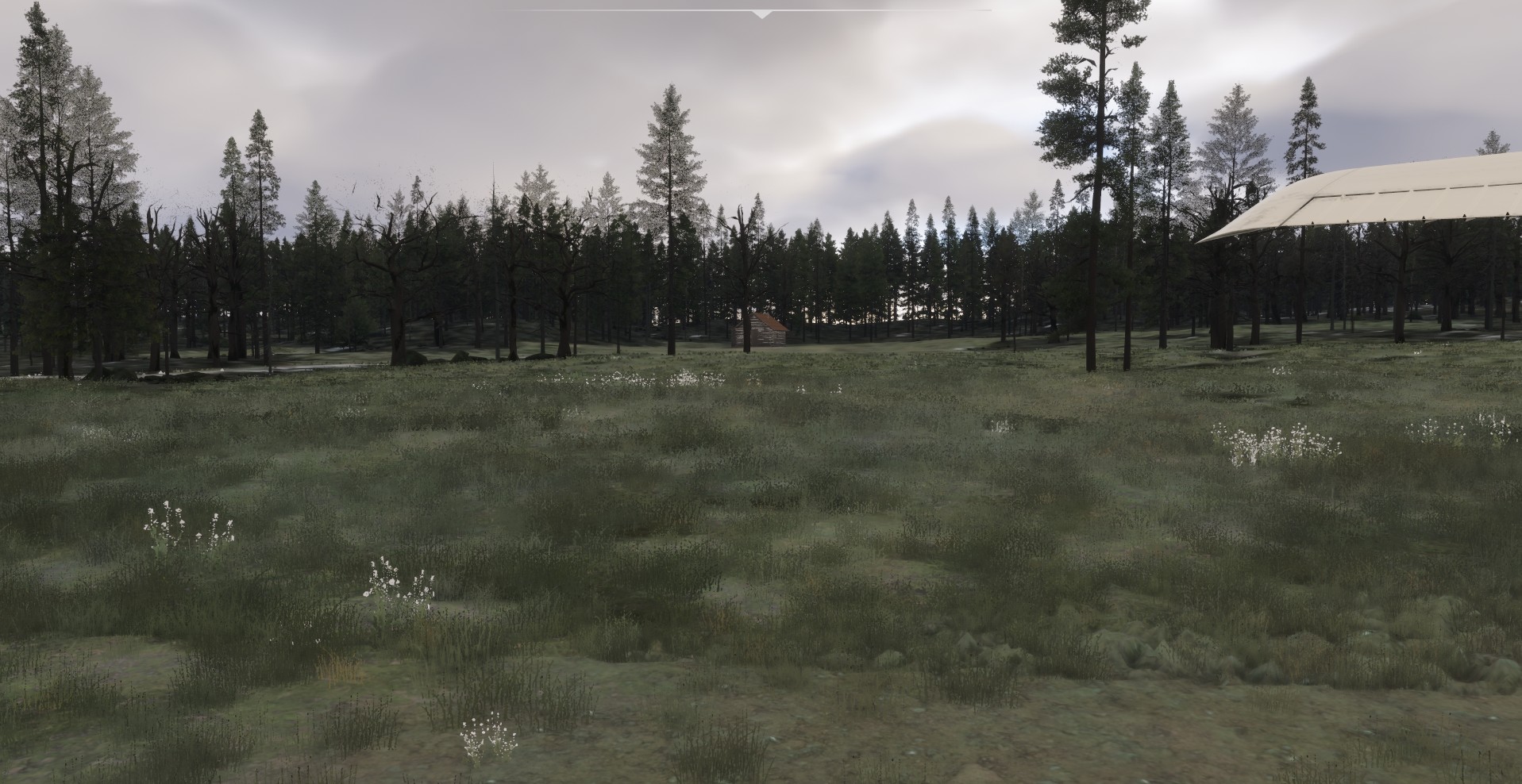
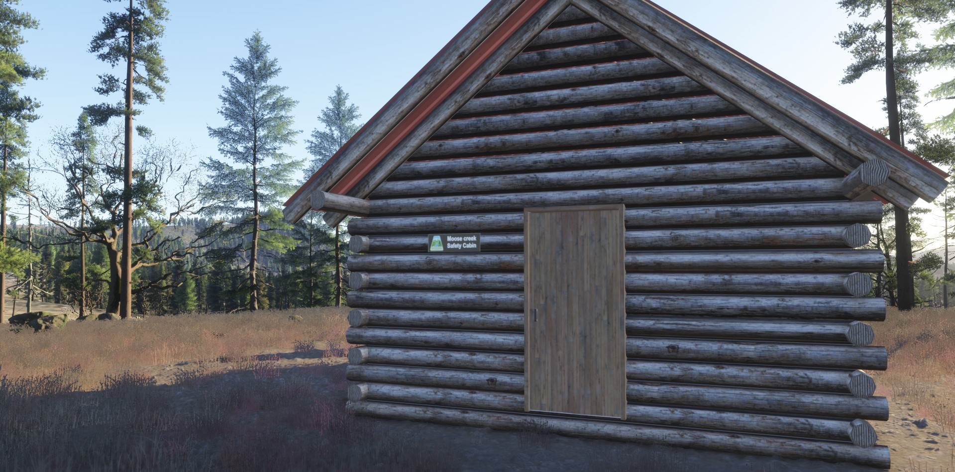
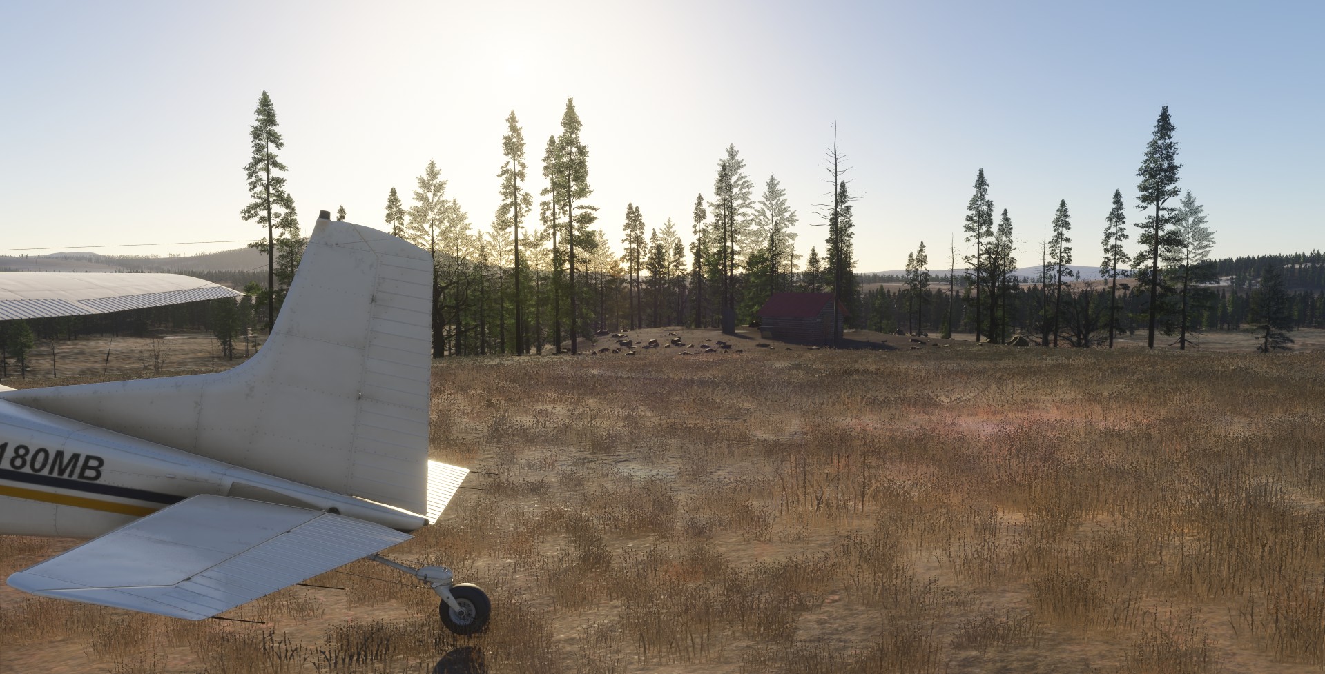
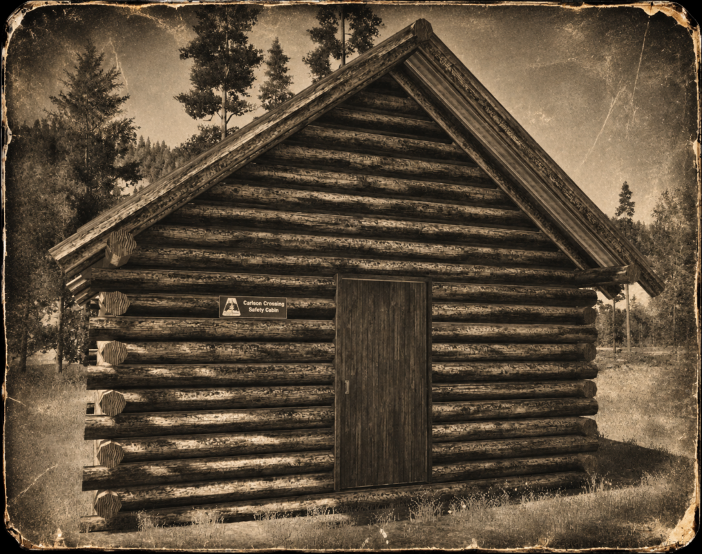
Every cabin in this scenery package is a landable bush-flying destination. There are no conventional airports, prepared runways, or ICAO codes. You’ll need to locate each cabin, survey the surrounding terrain, select a suitable landing area, and make your approach carefully.

About the Safety Cabins

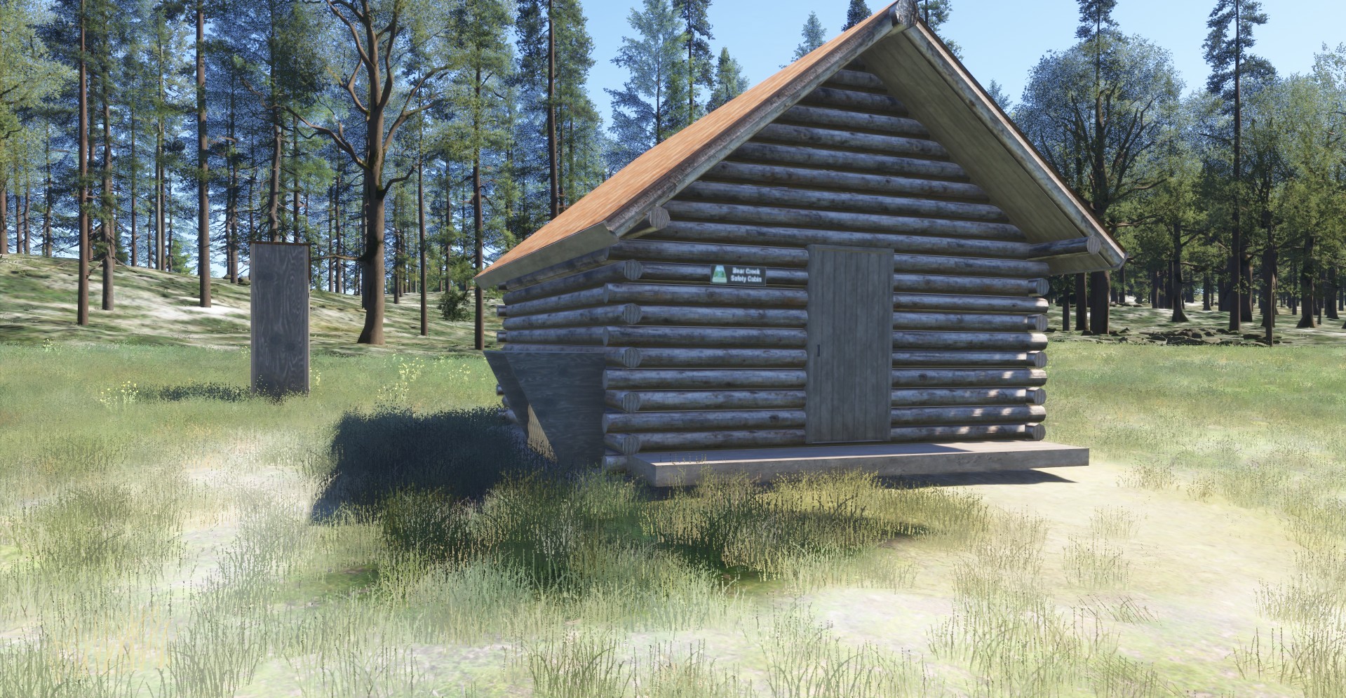
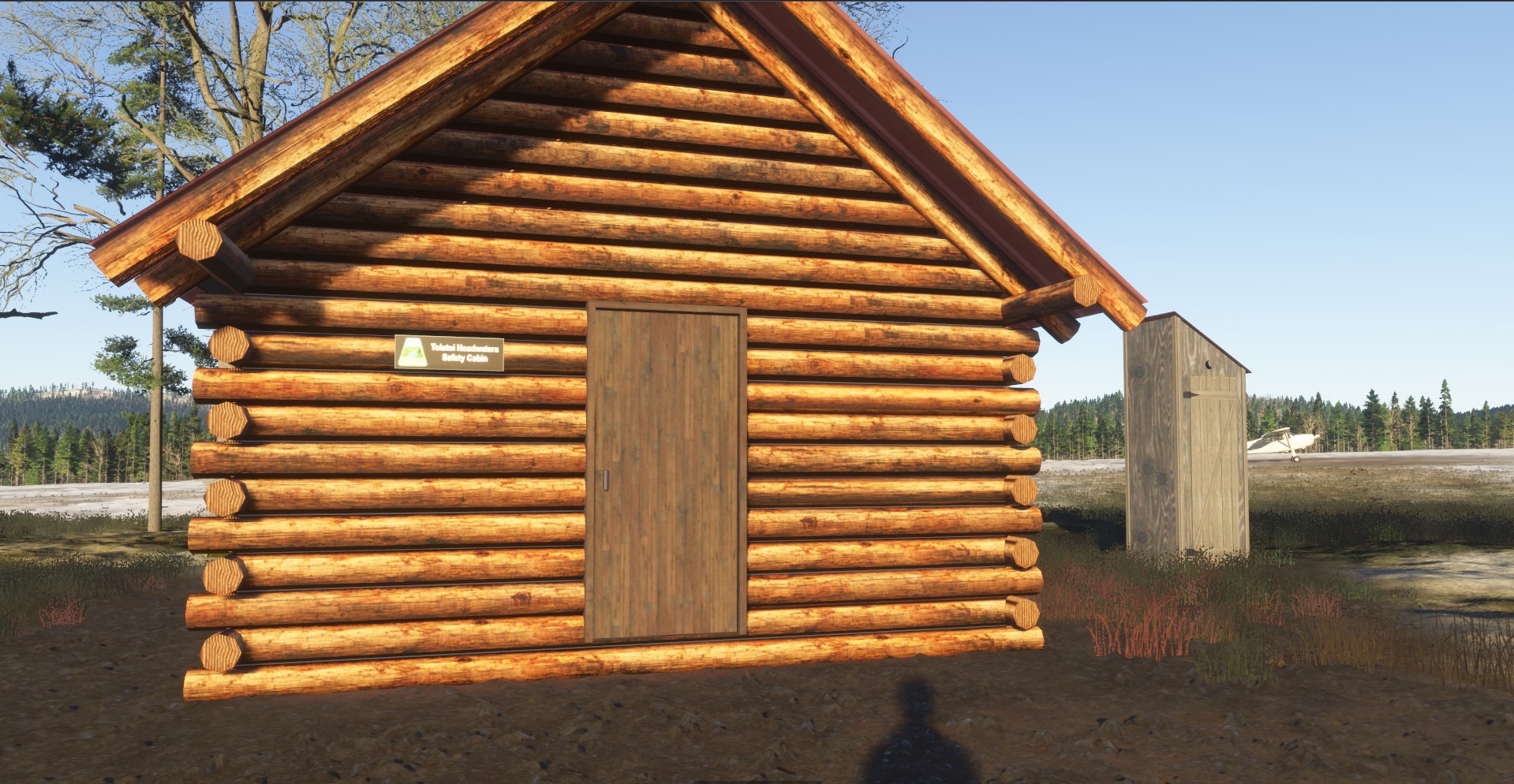
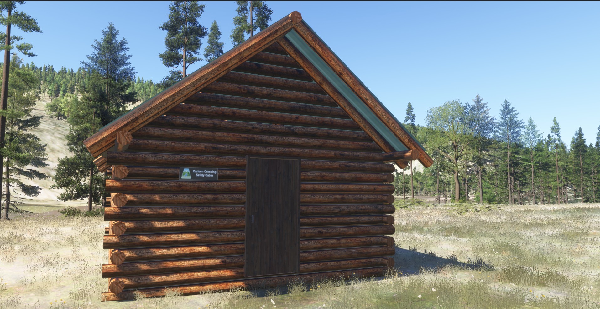
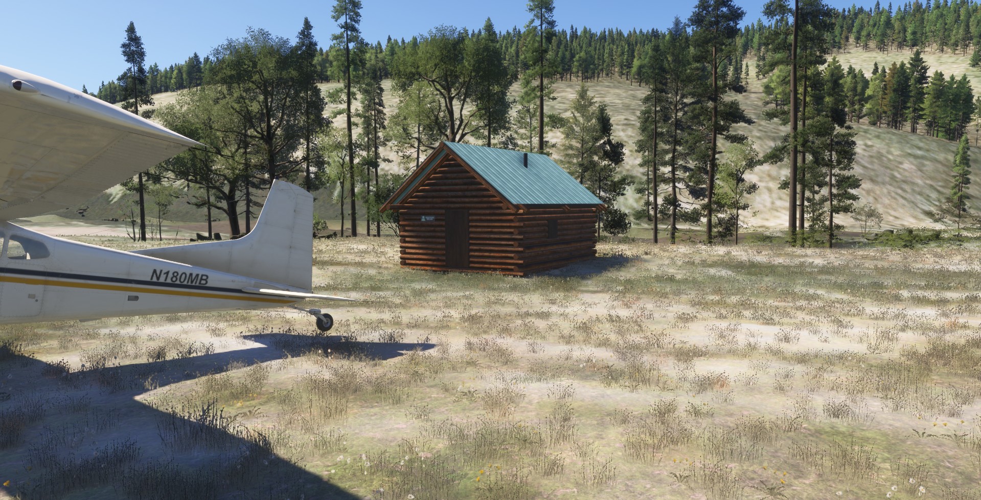
These cabins are based on real Bureau of Land Management (BLM) winter safety shelters built and maintained in partnership with the Iditarod National Historic Trail.

The cabins are free to use, require no reservations, and are available to travelers on a non-exclusive basis. They generally provide bunks, a woodstove, and an outhouse.

Primarily intended for winter travel, these shelters serve mushers, snowmachiners, and other travelers crossing the long stretches between Alaska communities. The safety cabin program helps support travel along the historic trail, including events such as the Iditarod Sled Dog Race and the Iron Dog.

Cabin conditions and supplies are checked throughout the year, with preparations made ahead of the racing season in early March.

What’s Included

– Remote, landable safety cabin destinations
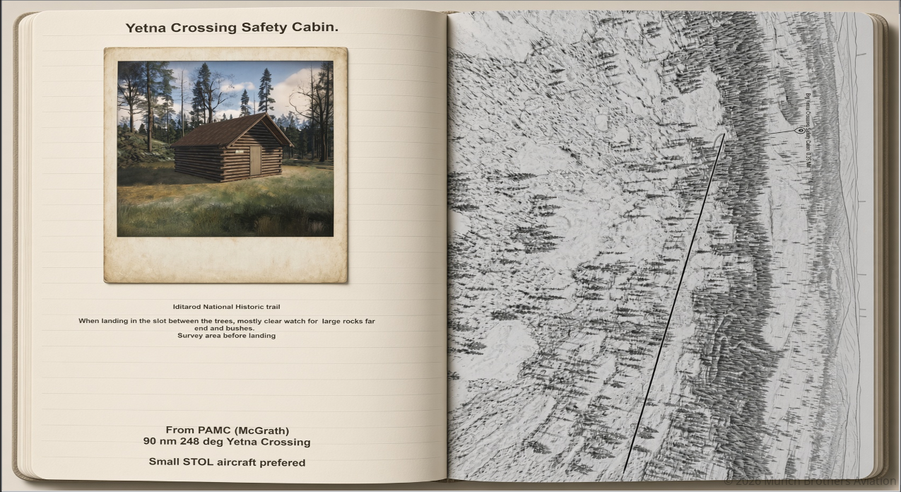
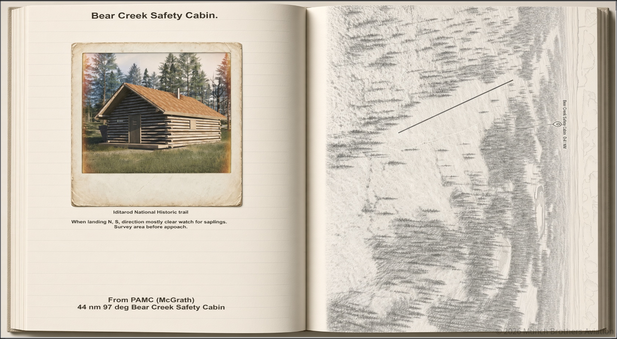
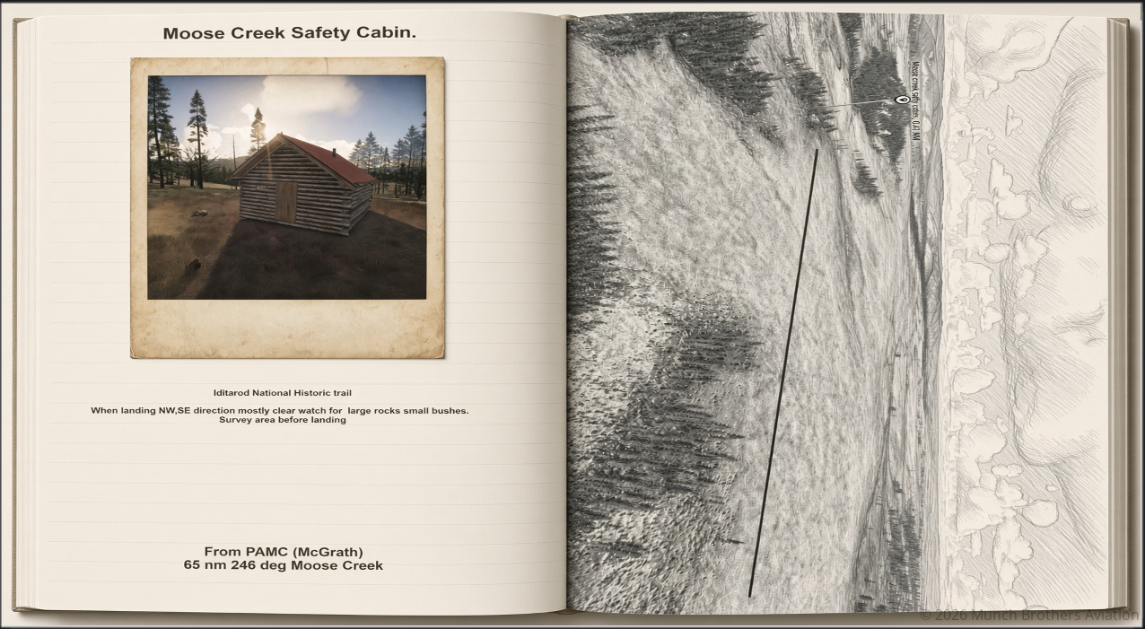
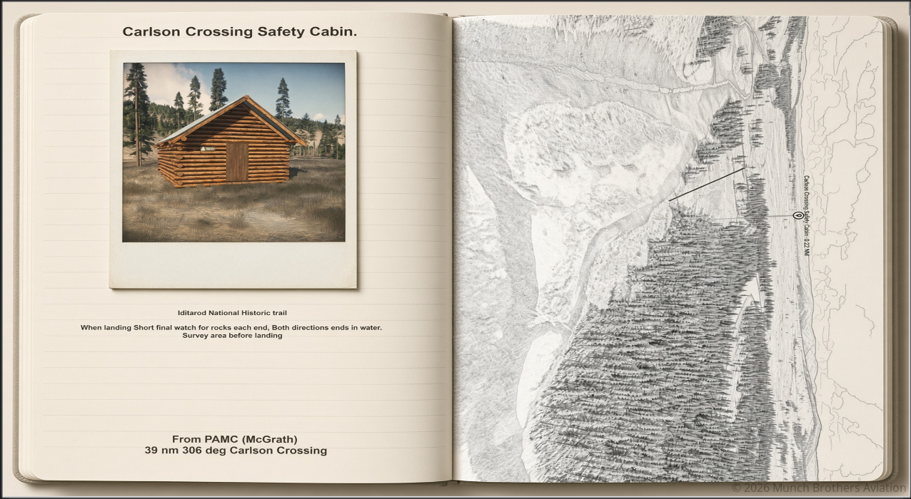
– A detailed **Navigation Guide Journal**
– Routes, directions, and headings to each cabin
– Photographs showing what to look for
– Sketches of preferred landing areas
– POI markers to assist with locating the cabins
– Opportunities for inspection, resupply, and bush-flying missions

All cabins are landable, but you must survey the terrain before attempting a landing. Refer to the included Navigation Guide Journal for the recommended approach and landing information.

Installation

Unzip the downloaded package and install the scenery in your MSFS 2024 Community folder.

Place the included **Navigation Guide Journal** on your desktop. You’re going to need it!

The guide includes photographs, directions, route headings, and sketches of preferred landing areas to help you find each destination.

Finding the Cabins

There are no ICAO codes for these locations. That’s part of the adventure!

You can locate a cabin using the MSFS 2024 Free Flight map:

1. Open the Free Flight map.
2. Enter the cabin name in the search bar on the left. For example, **Bear Creek Safety Cabin**.
3. Select the cabin when it appears in the search results.
4. Click the ground at the selected location and choose **Set Destination**.
5. Open the starting-position dropdown, where you may see options such as *Airborne 1,500 ft* or *Airborne 5,000 ft*.
6. Select **On Ground – Shut Down** to begin at the location.

Or, for the full bush-flying experience, use the Navigation Guide Journal and fly to the cabin from a nearby airport.

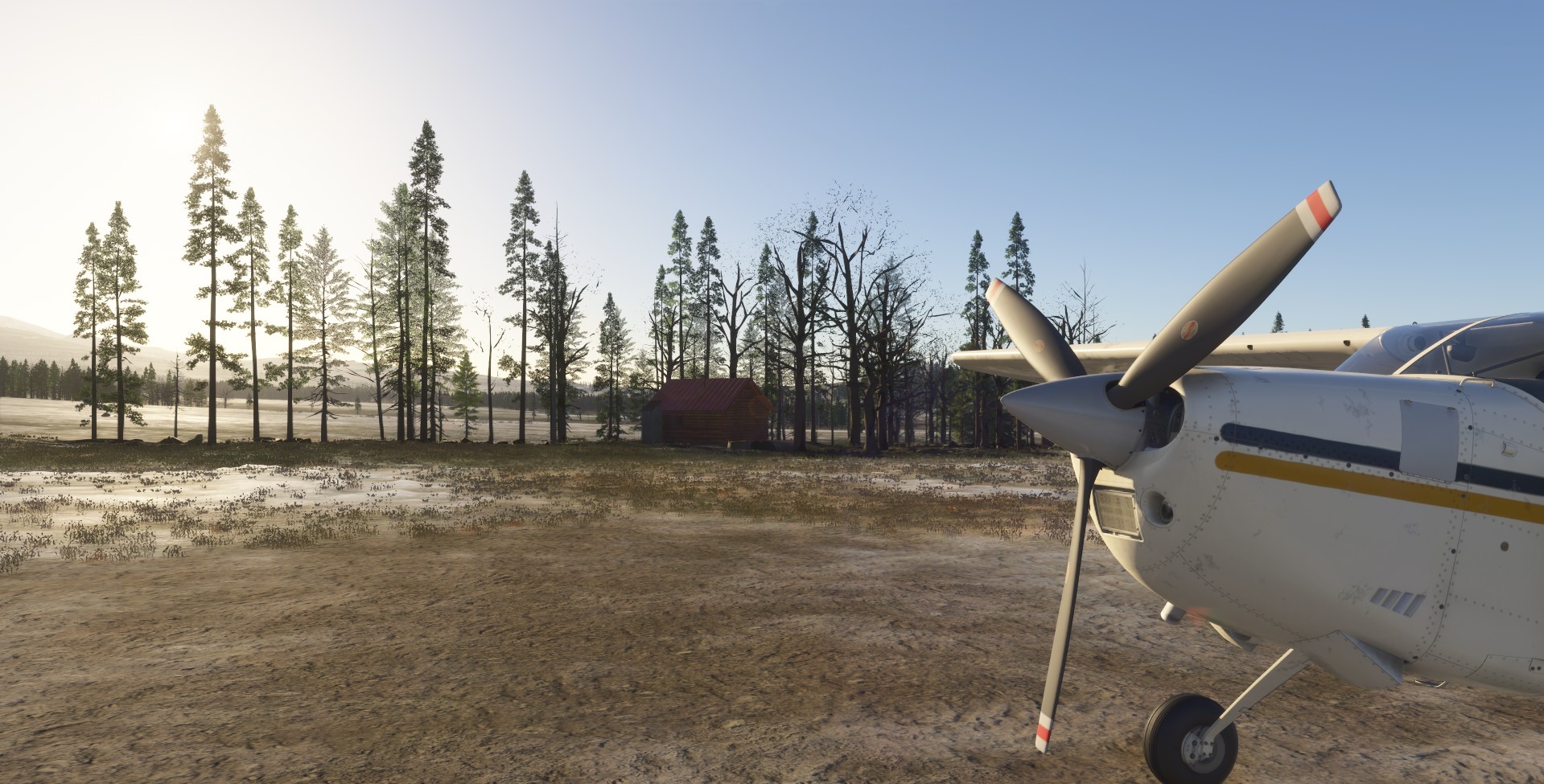
Each cabin has a POI marker to help you locate it. The scenery cabins are visible from approximately 1.5 nautical miles, so watch for the colored marker as you approach.

Take your time, survey the landing area, and refer to the included sketches before committing to an approach.

Inspection and Resupply Flights

These cabins offer more than just places to land. They make excellent destinations for realistic Alaska bush-flying assignments.

Inspection flights are typically conducted twice a year. Your job might be to fly an inspector into a remote cabin, check its condition, and file a report.

You may also be called upon to deliver survival supplies, restock essential equipment, or transport personnel to a cabin needing attention.

It’s a good opportunity to practice remote navigation, short-field operations, and careful landings in challenging terrain.

Your Mission

Find the cabins. Land safely. Keep the trail supplied.

These shelters exist for a reason. In remote Alaska, a small cabin with a woodstove and a few essential supplies can make all the difference to a traveler caught far from civilization.

Enjoy exploring the Iditarod Trail, take care when landing, and leave the cabins as you found them.

Happy Flying!

Munch Brothers Aviation


McGrath Safety Cabins. Read Post »

z48 Bear Creek


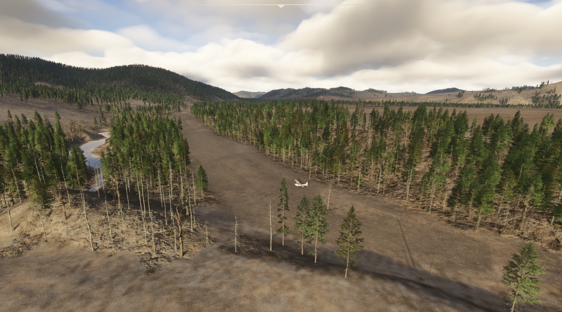
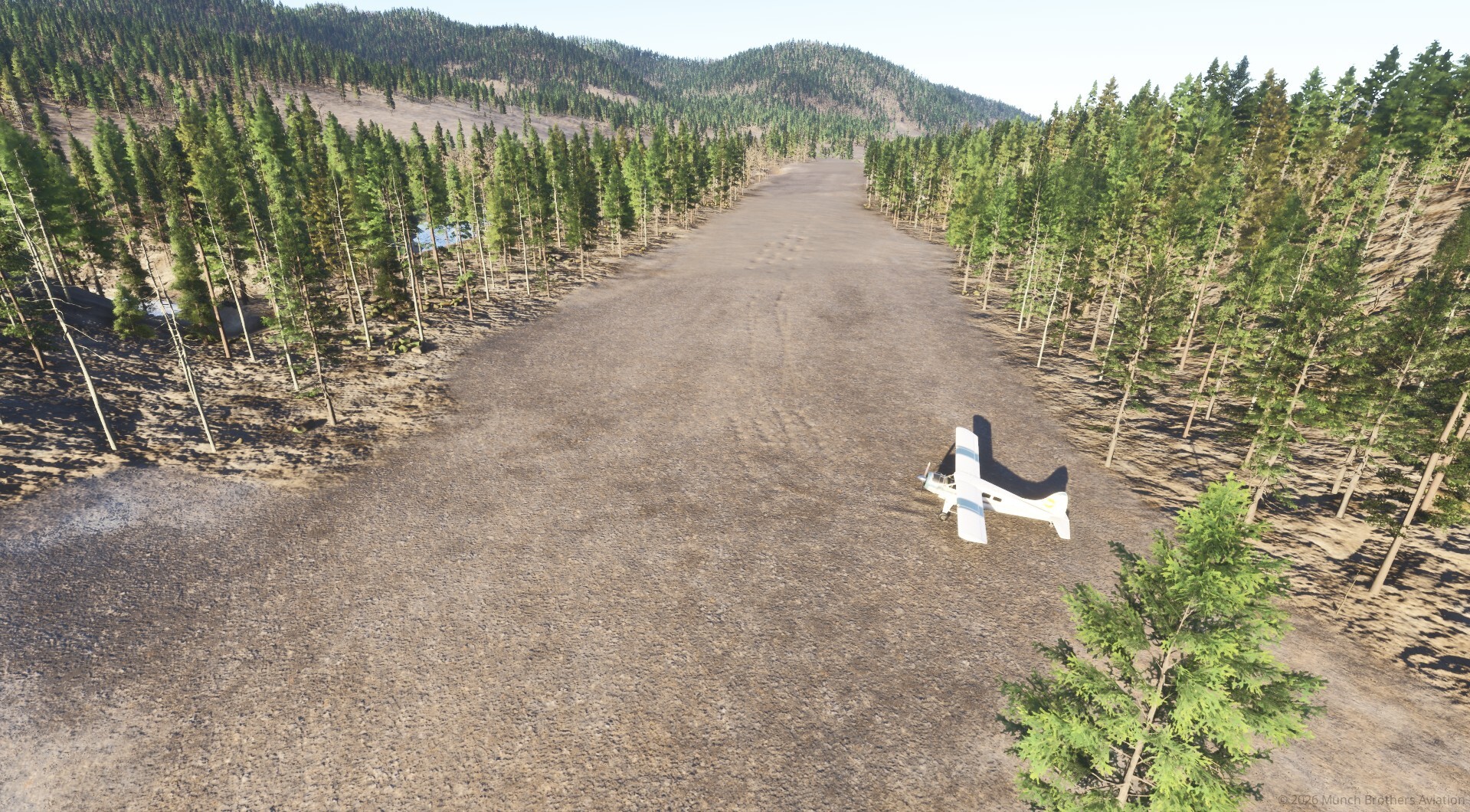
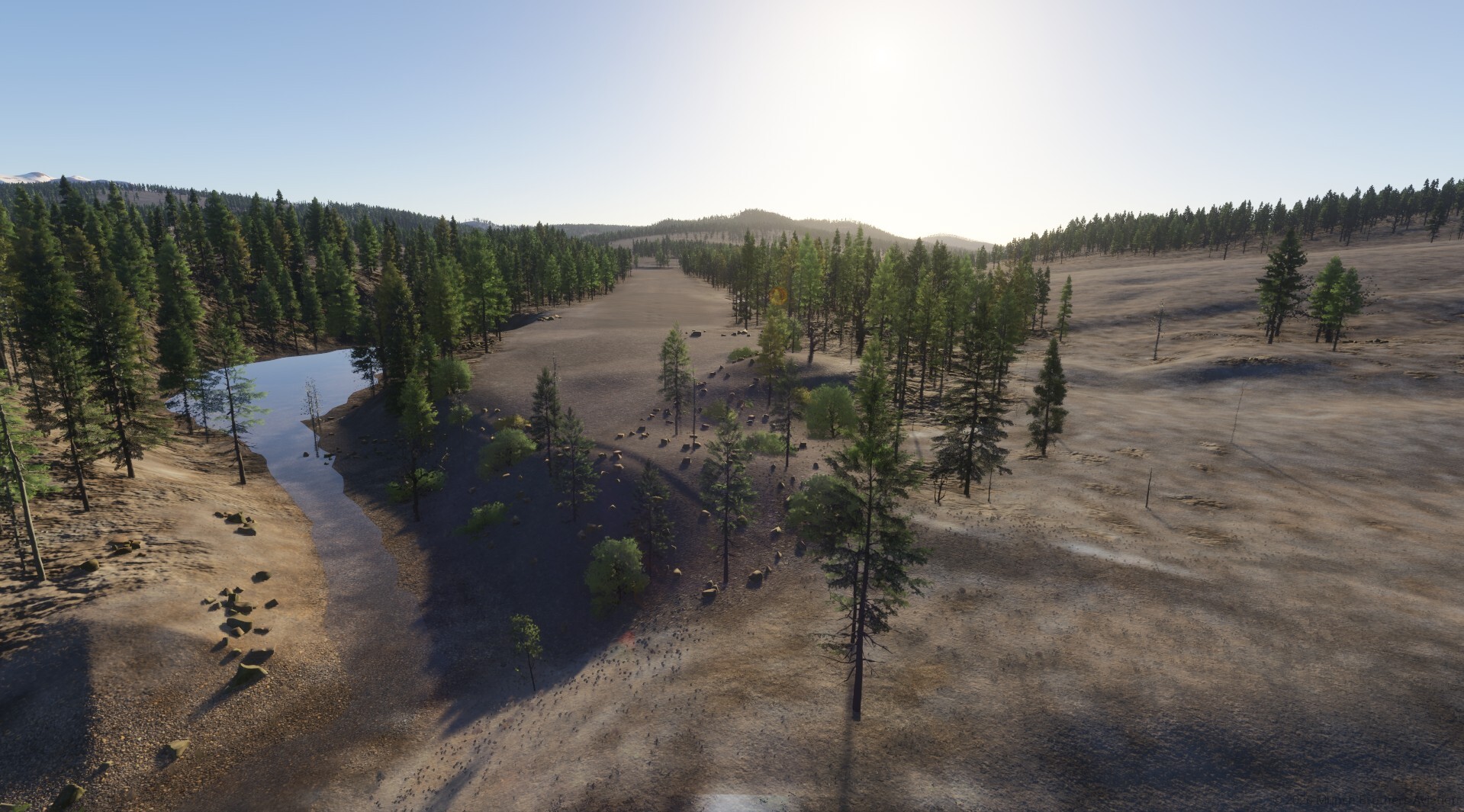
Bear Creek, Alaska (Z48) — Bear Creek #3

I used to fly into Bear Creek all the time back in the FS2004 Century of Flight days and later in FSX. It’s been quite a while since then!

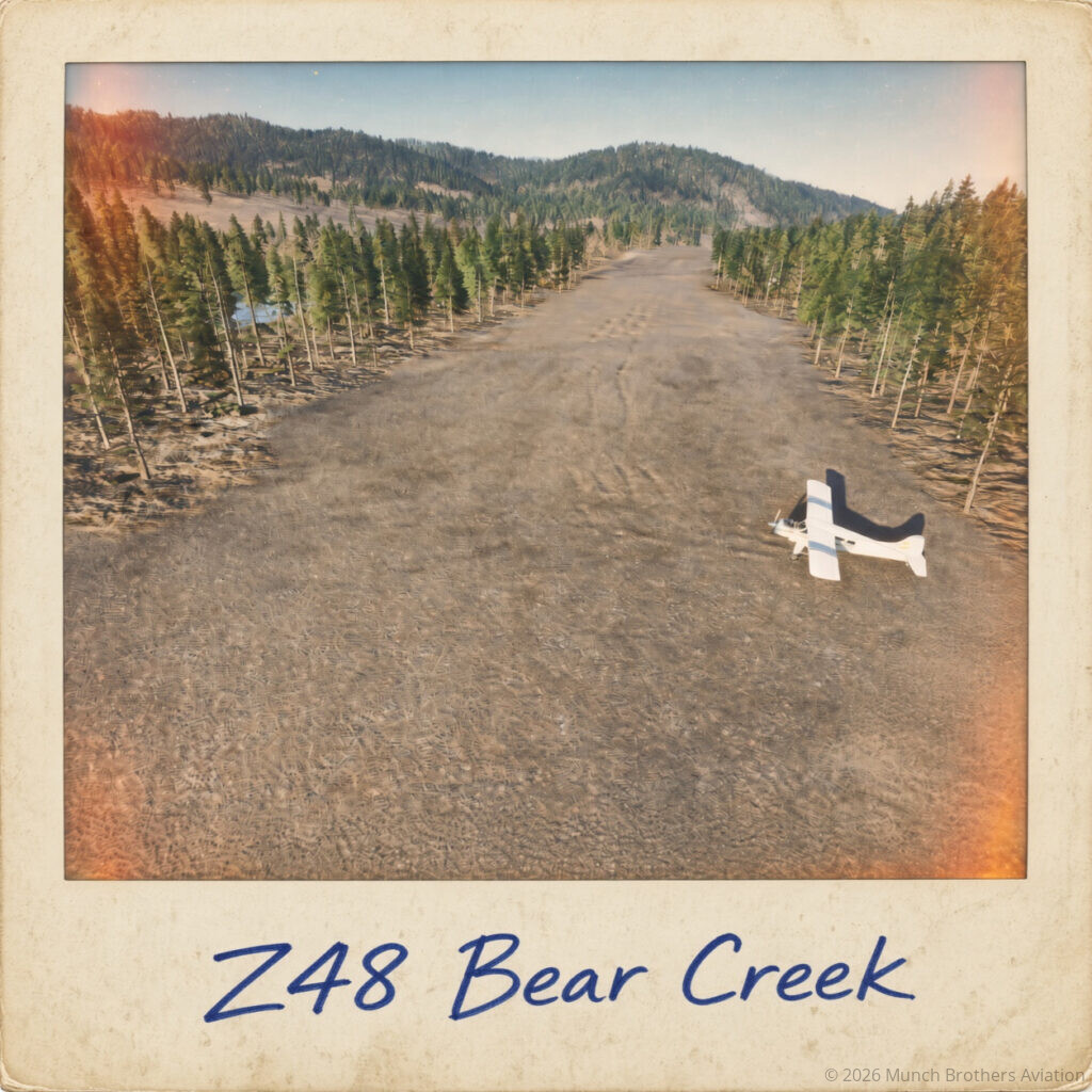
When I checked the 2024 scenery, the airport showed up in the satellite imagery, but there was no airport present in the sim. So I decided to bring it back! The ICAO identifier is Z48, and the airstrip is also known as Bear Creek #3.

It’s interesting to note that there are numerous places in Alaska named Bear Creek, so it’s easy to get them mixed up.

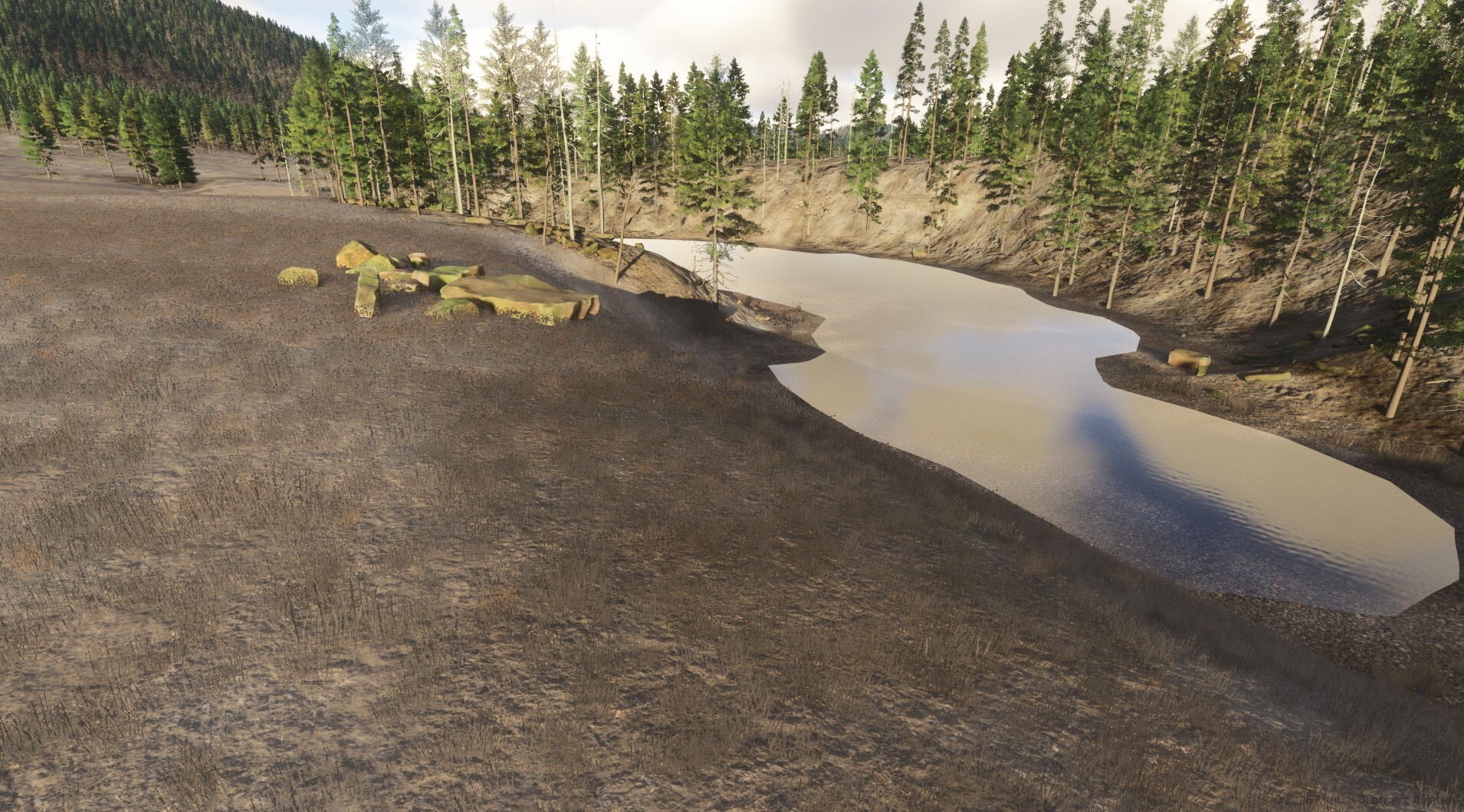
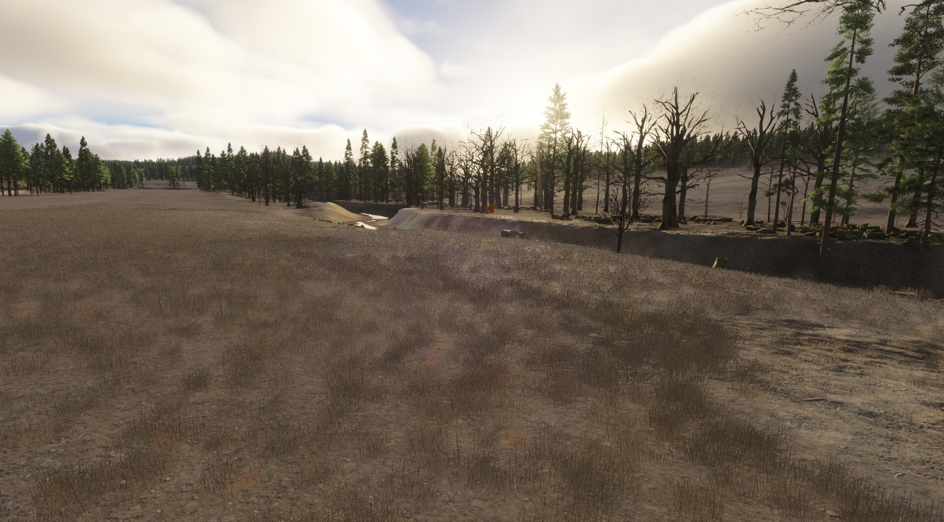
The airport itself is pretty much a ditch between two creeks! It’s a publicly owned airstrip with no fuel services, but it’s located in some beautiful, remote Alaskan wilderness. The area is also known for its wildlife, including moose, caribou, wolves, and grizzly bears.

One of the great things about MSFS 2024 is being able to bring these remote places back to life and make them feel the way they should.

AirNav airport information:

https://www.airnav.com/airport/Z48

A Little History

This area has a fascinating history, particularly when it comes to gold mining. Bear Creek #3 sits between Cripple Creek and Graham Creek, both of which have seen extensive placer gold mining. The area is part of the historic Innoko mining district, which was documented in early mining reports, including F.W. Holzheimer’s 1926 report and A.G. Maddren’s 1910 USGS investigation.

There’s still plenty of evidence of that mining history scattered throughout the area. About 5–10 miles upstream, you can find abandoned mining equipment, and I’m currently working on adding a historic steam dredge to the scenery.

It’s been a lot of fun digging into the history of this remote corner of Alaska while bringing the airstrip back to life.

Installation: unzip the zip copy the folder into Community 2024 and enjoy.

Airport is just north of McGrath about 33nm N by NW.

I hope you enjoy the scenery. Enjoy!

z48 Bear Creek Read Post »

Shopping Cart
  • Your cart is empty.
Scroll to Top